Port Hills, 7 April
Our first
walk and we travel south into the Port Hills which separate the port of
Lyttleton from Christchurch. The sign on the fenced off track didn’t bode well
but we squeezed through the gap and set off uphill. It soon became clear why
the track was closed: massive boulders, fallen from Castle Rock, sat blocking
the path in places, some more recent than the quakes and it was clear from the
signs that experts were attempting to stabilise the rocky outcrops through
controlled explosions. There were other people disobeying the signs so we bravely
continued on our way.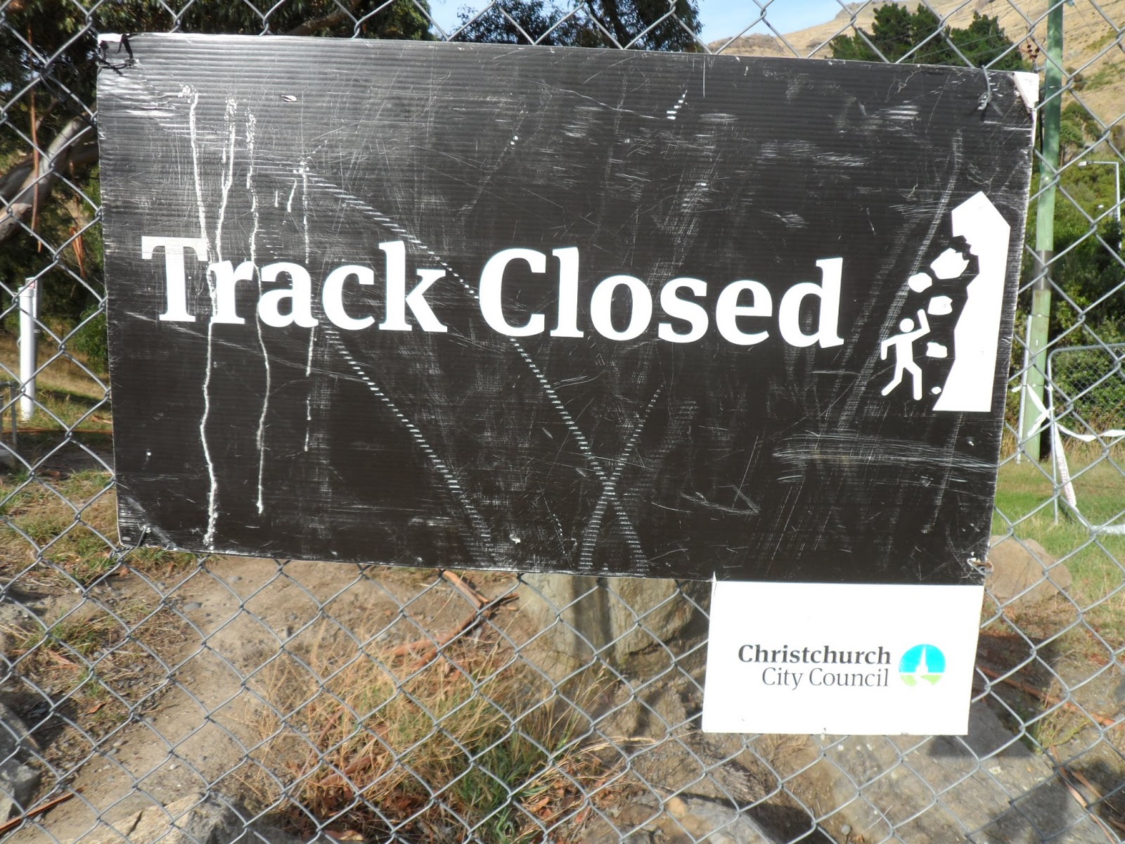
The views back to Christchurch were terrific and reaching a saddle at the top we were able to look down onto Lyttleton Harbour and the Banks Peninsular beyond. Lyttleton is an active port with cruise ships and massive container ships. It also exports timber and there’s a tunnel through the Port Hills linking it to Christchurch.
 |
| Having climbed up to the saddle we could look down on the town and port of Lyttleton and across to Diamond Harbour on the Banks Peninsular beyond |
We carried
on walking along the crest of the hill ridge up to the cafe which stands at the
top of the gondola for a well-earned coffee and more great views down to
Christchurch.
Peak Hill, 14 April
A beautiful
clear bright day and we drive west out of Christchurch towards Lake Coleridge.
The Canterbury Plains stretch wide and flat either side of us with their tall
pine hedge windbreaks separating the fields, and straight ahead of us the
snow-topped mountains of the Southern Alps. We found the starting point of the
walk at the side of a gravel road and set off across a field, then up a pretty
steep hillside.  |
| On the way up , looking down at Lake Coleridge, with the parallel lines of the tall Canterbury hedges |
As we climbed the views improved of course and we could look down over the lake one side and the Rakaia River on the other, with the Alps ahead in the distance. The Rakaia is one of those beautiful, untamed braided rivers cutting a wide path over a stony bed. The path going up was a bit of a slippery scramble on the lower slopes but then became a stony track and then finally a ridge path to the top. There were some strange spiky native plants beside the path, very unforgiving if you accidentally brushed past them.
 |
| From the top with the Rakaia River running down from the snow capped Southern alps |
It was pretty windy at the top so after a good look around we descended a bit and found a sheltered spot for lunch, before getting back down to the car. Quite a tough 4 hour walk and we needed a quick sleep in the car before driving home again.
Waikuku Beach, Anzac Day, 25 April
Anzac Day
falls on a Thursday and everyone has the day off so we go due north to Waikuku
Beach, stopping off at the Brick Mill Cafe for an early lunch. The cafe, on the
site of an old water mill, has an art gallery, a jewellery workshop, and an
antiques and collectables shop beside it, so makes for a good stop.  |
| A young shag on Waikuku Beach |
Waikuku Beach is one of those great long stretches of yellow sand bordered by sand dunes and pine forests that stretches on and on as far as the eye can see. My only other experience of local beaches here is New Brighton which didn’t make much of an impression on a cold grey day but Waikuku is fabulous and I know we’ll be swimming here in the Summer, it being only half an hour away from Christchurch. We walk barefoot encountering a couple of rather lost-looking shags, past driftwood tree trunks,and watching the surfers catching the waves.
Diamond Harbour, 1 May
It’s a
Wednesday morning promising to be a beautiful day and as I don’t have much on I
decide to be a tourist for the day. I catch a bus round the corner from our
house which takes me all the way to the port of Lyttleton, about a 45 minute
journey taking me through the tunnel beneath the Port Hills. A gang of school
kids also on the bus make it an interesting but noisy journey. |
| Busy port of Lyttleton with Banks Peninsular in the background, and the little ferry on the right |
 |
| Walking around on the coastal path looking across to the far side of the bay |
 |
| A good spot for lunch |
No comments:
Post a Comment